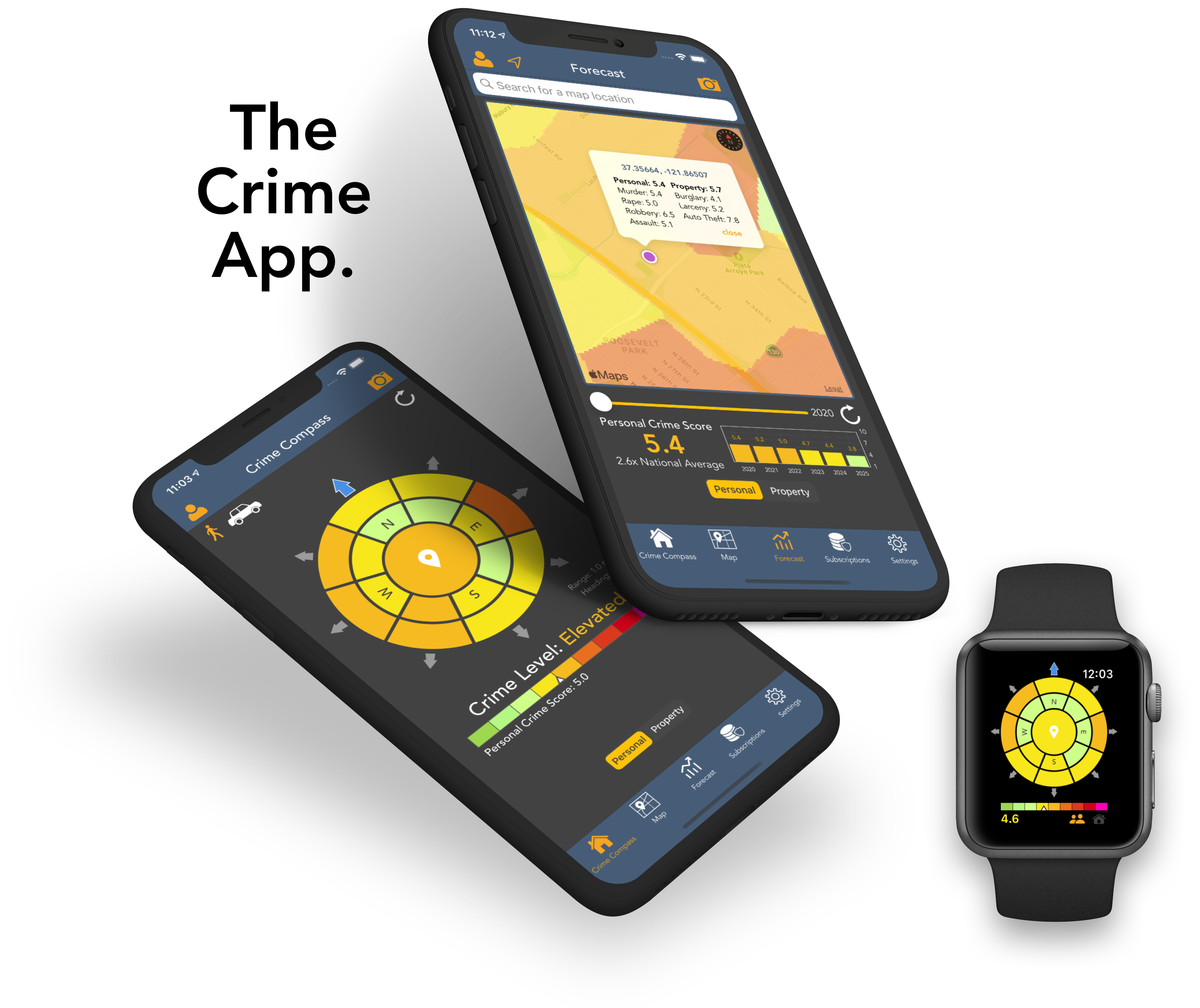
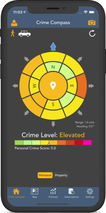
A unique color coded view that updates dynamically as you move. Inner and outer concentric rings show short and longer range crime hotspots, allowing you to steer clear of dangerous areas before you find yourself somewhere unsafe.
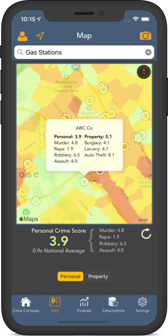
Search points of interest or addresses for crime data, or drop a pin on the map to verify that your next stop won't be an unexpected high crime area.
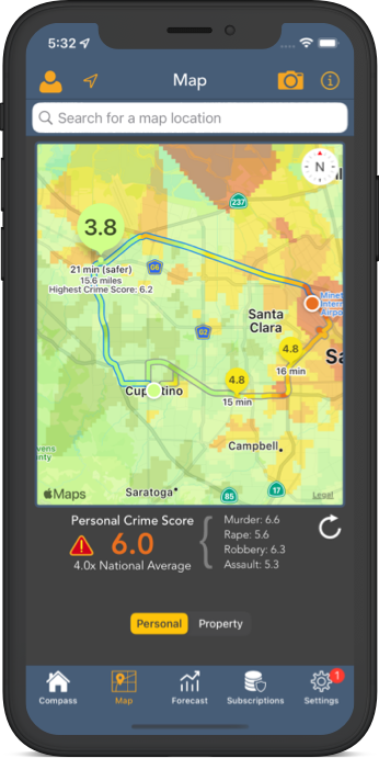
Crime aware trip planning is available to any searched or custom location. Routes are displayed and color-coded based on an aggregate of crime scores encountered during the trip.
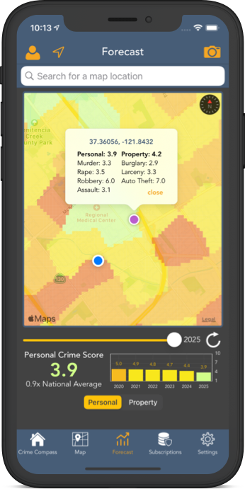
The map overlay and a convenient graph show 1 to 5 year crime projections for the current location, or any selected location such as a dropped pin, or selected search.
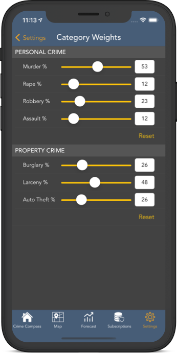
Change the weighting of different crime types, set up notifications when entering high crime areas, and much more. Crime and Place can alert you when you leave your comfort zone.
